Location: Ōtautahi Christchurch, Canterbury, Aotearoa New Zealand
Project type: Post-disaster river corridor regeneration and blue–green infrastructure planning
Delivery/lead organisations: Christchurch City Council (with mana whenua, central government agencies, consultants)
Date/period: 2011 – ongoing
Scale: Urban / Landscape / Catchment
Primary system or theme: Urban freshwater systems, floodplain processes, blue–green infrastructure
Context
Why this site matters
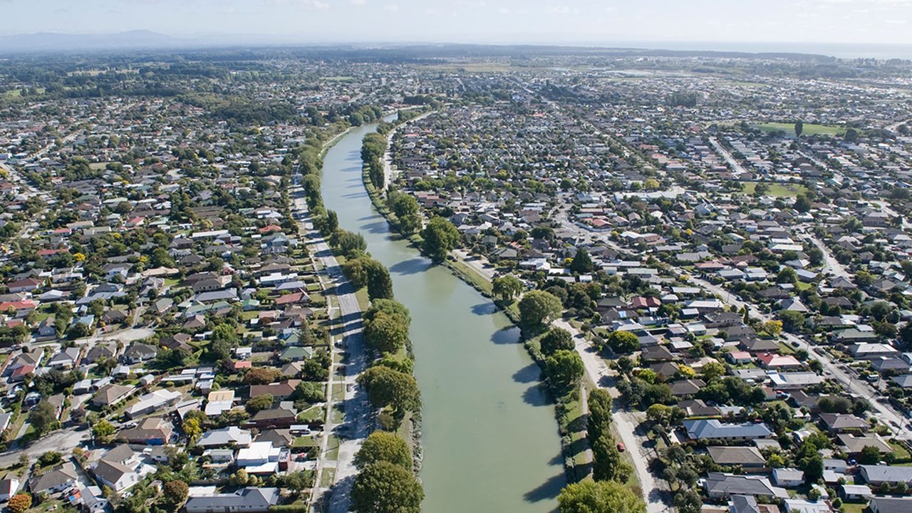
The Ōtākaro/Avon River is a lowland, spring-fed river flowing through a highly urbanised catchment before discharging into the Avon–Heathcote Estuary/Ihutai. 1 The river corridor holds long-standing cultural significance as a mahinga kai system and has been extensively modified through historic drainage works and urban development. 2 The 2010–2011 Canterbury earthquakes caused widespread land subsidence and increased flood susceptibility, resulting in large areas of residential land along the lower river being red-zoned and cleared. 3, 4
Challenge or constraint
What wasn’t working/what needed to change
Prior to and following the earthquakes, the catchment experienced degraded ecological condition associated with reduced Indigenous riparian vegetation, fragmented habitat, altered hydrology, and ongoing stormwater contaminant inputs. 5, 6 These pressures limited freshwater biodiversity values and constrained floodplain function, particularly in the lower reaches. 3, 7
Intervention
What was done
Post-earthquake regeneration planning reframed the red-zoned river corridor as a multifunctional blue–green system integrating flood management, stormwater treatment, public open space, and ecological enhancement. 4
Key components
- Strategic allocation of red-zoned land to a continuous river corridor open space
- Proposed and implemented wetlands, riparian planting, and partial floodplain restoration
- Integration of stormwater management objectives with river corridor design
- Use of spatial modelling to test potential habitat connectivity outcomes 7
Implementation notes
Design & delivery considerations
- Interventions occur unevenly along the corridor rather than as a single, fully implemented system
- Flood conveyance, groundwater conditions, and residual contamination constrain design options
- Ecological outcomes depend on upstream land use, stormwater quality, and pest management
- Many interventions remain at planning or pilot scale rather than fully realised projects 4, 7
Outcomes
Observed or reported outcomes
- Baseline documentation of Indigenous freshwater species presence, including īnanga, tuna, and kākahi, within the river corridor 8, 9
- Mapping and assessment of existing wetlands and riparian habitats, showing variable condition and high levels of exotic dominance 10
- Ongoing water quality monitoring identifying persistent stormwater-derived contaminant pressures in urban tributaries 5, 11
What is plausible but unmeasured
- Incremental improvements in structural habitat connectivity where Indigenous vegetation cover increases
- Localised reductions in pollutant loads associated with wetland and stormwater treatment interventions
- Enhanced floodplain function and public amenity along restored river reaches
Evidence & limits
What the evidence supports
Modelling indicates that increased Indigenous vegetation cover and wetland extent could modestly improve structural habitat connectivity for selected native species, contingent on landscape-scale implementation and pest control. 7
Key limitations or uncertainties
- Most biodiversity evidence is modelled or baseline-focused rather than outcome-based
- Ecological monitoring is not designed to attribute change to specific corridor interventions
- Benefits are context-dependent and unlikely to translate directly to catchment-wide recovery
- Persistent urban stressors continue to limit ecological function 7, 11
Relevance to design practice
- Treat post-disaster land release as an opportunity to re-establish floodplain processes and blue–green infrastructure at scale
- Do not assume ecological recovery without coordinated stormwater quality improvement and long-term management
- River corridor regeneration should be integrated with catchment-wide land-use planning, stormwater management, and realistic monitoring frameworks
References
- Christchurch City Council. (n.d.). Avon River catchment vision and values.
- Opus International Consultants Ltd. (2016). Ōtākaro / Avon River Catchment: Tauākī Wai Pātaua (Vision and Values). Christchurch City Council.
- Orchard, S. (2017). Floodplain restoration principles for the Avon Ōtākaro Red Zone.
- Christchurch City Council. (2020). Ōtākaro Avon River Corridor regeneration plan.
- Charters, F., O’Sullivan, A., Cochrane, T., Stevenson, M., Bolton-Ritchie, L., & Webster, R. (2017). Inline pond treatment performance and longitudinal instream monitoring in a stormwater-affected urban waterway. Water Science and Technology, 75(10), 2364–2375.
- Phillips, M. (2020). Microplastic contamination in the Avon / Ōtākaro River, Christchurch, New Zealand.
- Nguyen, T. T., Meurk, C., Benavidez, R., Jackson, B., & Pahlow, M. (2021). The effect of blue–green infrastructure on habitat connectivity and biodiversity: A case study in the Ōtākaro / Avon River catchment. Sustainability, 13(12), 6732.
- Orchard, S., & Hickford, M. (2016). Spatial effects of the Canterbury earthquakes on īnanga spawning habitat. Journal of Environmental Management, 209, 456–468.
- Instream Consulting. (2025). Ōtākaro Avon River Corridor kākahi survey. Christchurch City Council.
- Christchurch City Council. (2025). Ōtākaro Avon River Corridor wetland delineation and ecological assessment.
- Christchurch City Council. (2024). Comprehensive Stormwater Network Discharge Consent: Annual environmental monitoring report.